About Maya Tungri Pahari Mandir
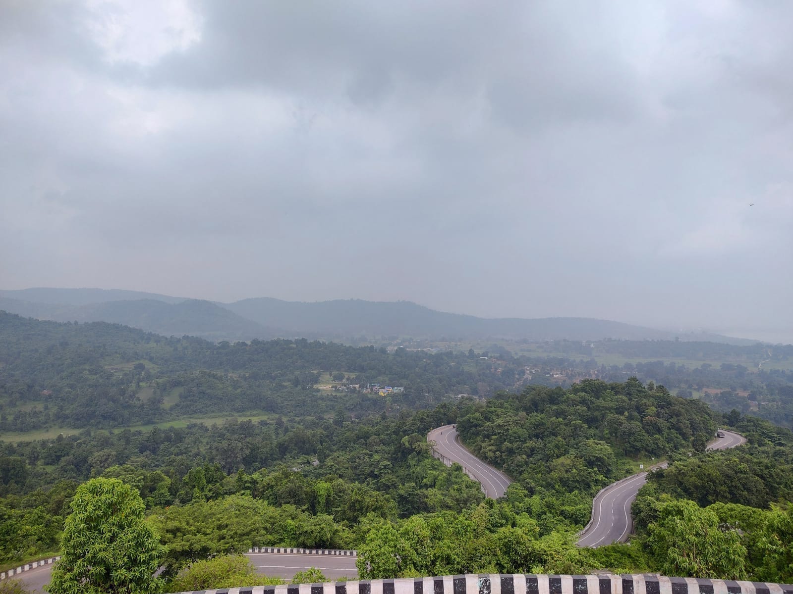
Mahamaya Temple crowns Maya Tungri, a hill at Muramkala in Ramgarh. The district portal describes a stair approach, worship of Maa Mahamaya and a local tradition of special prayers for rain. It also reports community beliefs about the shrine's age and the goddess's power. These are properly understood as living tradition unless documentary evidence is cited. The hilltop position is central to the experience: ascent, changing views and the transition from road landscape to sacred summit give the pilgrimage its form.
Maya Tungri Pahari Mandir has a defensible identity in the cited sources: Mahamaya Temple on Maya Tungri at Muramkala, reached by a stair ascent. That statement is more useful than a string of promotional adjectives because it tells readers what is physically or institutionally distinct. It also protects the entry from absorbing claims attached to another lake, shrine, hill or town. A publication-ready account should keep this central fact visible throughout the description and allow uncertainty to remain where the official material is silent.
The larger setting is a hilltop pilgrimage associated in local tradition with prayers for rain. Reading Maya Tungri Pahari Mandir at that scale explains connections among terrain, infrastructure, settlement, worship and livelihood. The approach itself can show how the scene changes from road or neighbourhood to water, summit, sanctum, forest or industrial edge. Those transitions are part of the destination’s story; they are also a reminder that the surrounding area is used every day and is not simply vacant tourism space.
The most relevant visitor responsibilities arise from summit crowding, steep steps and respectful presentation of community belief. Conduct should follow the actual character of the place: barriers around working infrastructure, quiet at worship, distance from animals, consent in neighbourhoods, or restraint around fragile rock and masonry. Photography must never override safety, prayer, industrial security or personal privacy. Carrying waste away and using only public or custodian-approved approaches protects both the documented feature and the people who maintain or depend on it.
Seasonal or operational change affects how Maya Tungri Pahari Mandir can be understood. Rain may alter water level, current, vegetation, footing and road conditions; dry weather may expose banks, rock, built fabric or the geometry of a planned landscape. A temple or mosque follows its religious calendar, while a dam, zoo, park or industrial property follows management rules. The cited sources establish identity and context, but they do not make every service, route, sighting or access condition permanent.
Interpretation at Maya Tungri Pahari Mandir should distinguish direct evidence from attribution. Visible landform, water, buildings, official plans and continuing use can be described plainly. A local miracle, epic association, remembered patron or colonial link belongs to tradition unless supported by an inscription, archive or specialist study. Conversely, uncertainty is not a reason to dismiss community memory. Labelling each kind of knowledge lets readers respect belief and oral history without converting them into an invented date or archaeological conclusion.
A strong visit concentrates on Mahamaya Temple on Maya Tungri at Muramkala, reached by a stair ascent and then relates it to a hilltop pilgrimage associated in local tradition with prayers for rain. Time for observation, an authorised guide where appropriate and conversation with local custodians offers more value than racing through a checklist. Spending at nearby services can support the area when it is welcomed, but homes, rituals, workplaces and restricted compounds remain outside casual tourist entitlement. This focused approach leaves summit crowding, steep steps and respectful presentation of community belief undisturbed and gives the destination a specific narrative that cannot be swapped with another Jharkhand attraction.