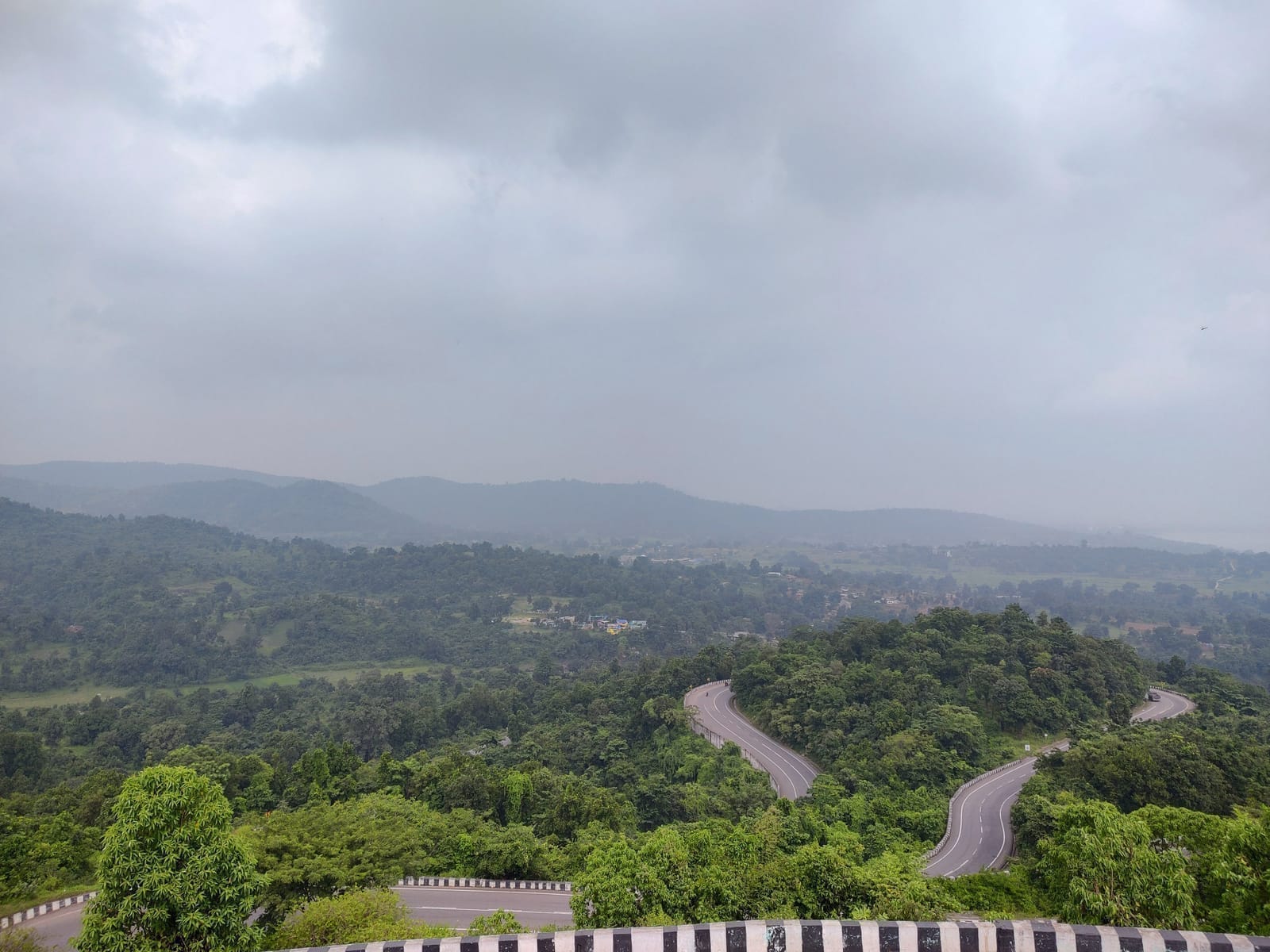
About North Koel River landscape
North Koel River landscape is a river landscape in Garhwa district. The North Koel river system links parts of Garhwa and Palamu before joining the Son, making its banks a regional ecological and livelihood corridor rather than a single tourist point. The North Koel River landscape is retained as a Garhwa nature record for a river corridor rather than a single engineered attraction. The district tourism material lists the North Koel among local places but does not define a public ghat, viewpoint, trail, boating operation or bathing zone. The river should therefore be interpreted through seasonal flow, riparian vegetation, village use and the wider plateau ecology, without inventing a fixed visitor facility. Visitors should remain on public access, never enter unfamiliar current, keep away from eroding banks and sand-mining or work areas, and avoid litter, soap and disposable offerings.
North Koel River landscape is most clearly understood through the North Koel river system linking Garhwa and Palamu before joining the Son. Its banks form a regional ecological and livelihood corridor shaped by rain, cultivation, crossings and village use. This evidence gives the destination a precise identity within Garhwa: the visitor is looking at a named relationship among landform, water, settlement or history, not a generic scenic stop. Interpretation should begin with those documented features and resist filling gaps with borrowed legends, invented dimensions or facilities that belong to another place.
The wider setting of North Koel River landscape is the Koel–Son drainage and western Jharkhand plateau. That connection explains why the site matters beyond a photograph: routes, drainage, forest cover, worship, political history or livelihood continue across the surrounding landscape. A useful visit pays attention to those links and to changes between the approach and the destination itself. Reading the site at this scale also prevents nearby attractions from being merged into one inaccurate account simply because they appear on the same district itinerary.
At North Koel River landscape, responsible conduct follows directly from eroding banks, sand-work areas and current that changes after upstream rain. Visitors should use the public or custodian-approved approach, leave fixed and natural material untouched, and give priority to the people who worship, work or travel there. Photography is appropriate only where it does not expose private ritual, homes, restricted infrastructure or sensitive habitat. This is not a standard etiquette paragraph: these precautions protect the particular evidence and everyday uses through which the destination retains meaning.
A river itinerary can connect forts, forest gateways and market towns, but travel time on rural roads should remain realistic. Names such as Baba Khonhar Nath Temple, Anraj Dam, Guru Sindhu Waterfall, Satbahini Waterfall offer regional context without implying that all can be covered quickly. Local directions help identify a lawful approach; permission is needed before entering farmland, private ghats or ritual spaces. The river remains a shared resource long after visitors leave.
North Koel River landscape expresses the river geography of the Palamu region, where the North Koel, Auranga and their tributaries drain forested and cultivated plateau country toward the Son system. Water level, exposed sand, alluvial banks and vegetation change markedly across the year. A confluence or broad river reach is therefore both scenic and ecological: it carries sediment, supports aquatic life, recharges local ground and shapes settlement. Reading those relationships is more rewarding than reducing the site to a picnic bank.
Together, these layers make North Koel River landscape a distinct part of western or northern Jharkhand rather than a generic stop. A publication-ready account should continue to separate visible evidence from tradition, treat water and forest conditions seriously, and recognise the people who maintain the landscape. Responsible visitors leave paths, structures, worship and wildlife undisturbed while taking away a clearer understanding of the place.