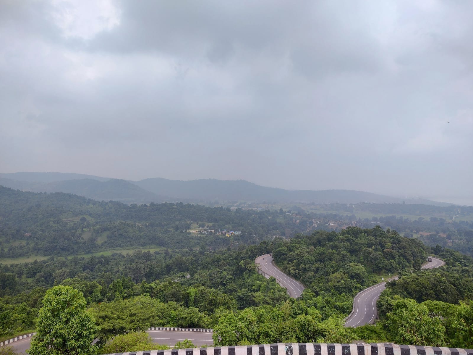
About Damodar River Ghats
The Damodar River ghats of Dhanbad form a dispersed set of riverbank spaces rather than one named attraction. Along the district's southern landscape, the river relates to settlement, industry, transport and religious practice. A ghat may be used for everyday access, bathing or seasonal rites, but use differs from locality to locality. The district profile establishes the Damodar as part of Dhanbad's geography; it does not confer the same facilities, safety or public status on every bank. A travel account should therefore focus on the river corridor and use only clearly public approaches.
Damodar River Ghats is best understood as a dispersed set of community-used banks along the Damodar rather than one uniformly managed attraction. This distinction controls what can be claimed in a publication and prevents the record from borrowing facilities, history or photographs from a similarly named place. The sources attached to this entry support that identity; details beyond it should remain dated, attributed and limited to what the responsible institution actually records.
River reaches shaped by settlement, industry, bridges, sand, ritual practice and seasonal flow define the physical experience of Damodar River Ghats. These features are not decorative background: they explain how the place functions, how people reach or use it, and why conditions change. Reading the exact terrain or urban form gives visitors more useful context than a generic list of nearby attractions.
The river should be interpreted as a working corridor whose religious, domestic and industrial meanings overlap. This interpretive focus gives Damodar River Ghats a place-specific history or cultural setting without turning oral tradition into documented chronology. Where the source records a belief, association or institutional claim, it should remain clearly attributed; where the landscape itself supplies evidence, the description can explain what a visitor can responsibly observe.
Each ghat has different ownership, depth, current and local use, so a generic bathing recommendation is unsafe. The practical implication at Damodar River Ghats is to follow the current custodian’s route, barriers and photography policy. A general travel article cannot convert controlled industrial, forest, sacred, water or residential land into public space, and an old online report cannot guarantee that a service remains available.
Season affects Damodar River Ghats through its particular setting: rain may alter water, forest paths or riverbanks; heat may intensify an exposed ascent or urban visit; festivals and public events may change circulation. The useful question is not simply which month is “best,” but whether the documented feature, recognised approach and responsible manager can support the planned visit on that day.
Responsible tourism at Damodar River Ghats starts with the people and institution already using or caring for it. Visitors should keep access roads and working areas clear, obtain consent before photographing residents or worship, and purchase local services only where they are lawfully offered. Waste, loud playback, drones and staged intrusion can damage the exact landscape or social relationship described here.
For editorial use, Damodar River Ghats should retain its official or locally documented name, district and source links. Maps, image captions and related-place suggestions must preserve the distinctions set out above. That discipline makes the entry useful even when hours, fees, water levels, ceremonies or access rules change, because the enduring subject is accurately identified rather than padded with a generic tourism promise.